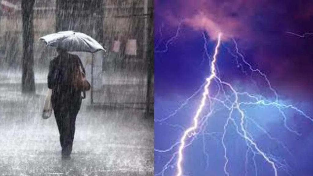
Tonight, April 4, 2025, a major weather system will bring severe thunderstorms, heavy rainfall, and strong winds across multiple states, including portions of the Midwest, South, and Southeast.
The National Weather Service (NWS) has issued a series of weather warnings for residents from Texas to Illinois, urging everyone to stay alert as the storm system intensifies.
The storms are expected to cause flash flooding, damaging winds, and power outages as they move eastward overnight. Meteorologists predict heavy rain of up to 2 inches in some areas, along with wind gusts reaching speeds of up to 50 mph, particularly in parts of Missouri, Arkansas, and Tennessee.
Areas Most Affected by Thunderstorms
The storm is predicted to impact a large portion of the central United States late tonight, with the worst conditions occurring between 6 PM and 2 AM local time. Key areas most likely to experience severe weather include:
- Eastern Texas, Oklahoma, and Arkansas: These areas could experience heavy rain and hail, along with strong wind gusts that may damage trees and structures.
- Mississippi, Louisiana, and Missouri: Flash flooding is a concern due to the combination of heavy rainfall and poor drainage in certain cities.
- Southern Illinois, Indiana, and Kentucky: Strong thunderstorms with the potential for gusty winds and flooding are expected, particularly in the late evening hours.
- Tennessee and Alabama: Severe thunderstorms are likely to bring frequent lightning and possibly hail in some areas.
What to Expect: Key Hazards from the Storm
As the storms intensify overnight, the following weather hazards are expected to affect large parts of the region:
1. Heavy Rainfall and Flash Flooding
The primary threat from these storms will be intense rainfall that could overwhelm drainage systems, particularly in urban areas.
Localized flooding is expected, and officials are advising residents to avoid driving on flooded roads. Flash flooding could occur rapidly, so it’s important to stay alert to weather warnings.
2. Strong Winds
Wind gusts of up to 50 mph are anticipated, which could bring down trees, power lines, and damage outdoor structures like fences and sheds. Power outages are likely in the worst-hit areas, and residents are encouraged to secure outdoor furniture and other loose objects.
3. Lightning and Hail
While hail is expected to be isolated, lightning strikes could pose a threat to safety. Frequent lightning can cause fires, power surges, and create hazardous driving conditions. Residents are urged to stay indoors during the storm and avoid using electrical appliances.
How to Stay Safe During Tonight’s Storms
With these severe thunderstorms on the way, it’s essential for residents in the affected areas to take safety precautions:
- Secure outdoor objects that could be blown away by strong winds, including patio furniture, trash cans, and outdoor decorations.
- Avoid driving during the peak storm hours. If you must drive, do not attempt to cross flooded roadways.
- Prepare for power outages by charging phones and other essential devices ahead of time, and keep flashlights and batteries handy.
- Stay inside and avoid windows during the storm. If you are in a mobile home or temporary shelter, seek sturdier shelter in a nearby building.
- Have an emergency kit with essentials like water, non-perishable food, medications, and first aid supplies.

Potential Impact on Schools and Community Events
While there have been no widespread school closures announced, many outdoor events such as sports games, concerts, and community activities may be delayed or canceled due to the storm.
Residents are advised to check with local authorities, school districts, or event organizers for the latest updates on changes or cancellations.
What Happens After the Storm?
Once the storm moves through, colder air will sweep into the region behind the cold front. Temperatures are expected to drop by 10–15 degrees on Saturday, April 5, with drier and calmer weather setting in by midday.
This will provide a brief respite from the severe weather, though additional rain and thunderstorms are forecast for the beginning of the week.
Residents in the Midwest and Southeast should remain alert, as another round of wet weather could return by Monday, April 7, according to meteorologists.
How to Prepare for Future Storms
While tonight’s storm system is certainly concerning, it’s a reminder that spring storms are a regular occurrence. Here are some additional steps to prepare for future severe weather:
- Create an emergency plan that includes a safe place to go, a communication strategy with loved ones, and a list of emergency supplies.
- Monitor weather apps and alerts for the latest storm warnings.
- Ensure your home is properly prepared with reinforced windows and doors, especially in regions with frequent high winds or hail.
Conclusion: Stay Safe During April 4 Storms
April is known for its unpredictable weather patterns, and tonight’s thunderstorms serve as a reminder of the potential dangers that severe storms can bring.
By staying informed, following safety guidelines, and taking proactive steps to secure your home and property, you can better protect yourself and your family during the storm.
Be sure to stay tuned to local weather updates and emergency alerts for the most accurate and timely information.
For the latest weather updates and advisories, visit the National Weather Service website.
Disclaimer – Our team has carefully fact-checked this article to make sure it’s accurate and free from any misinformation. We’re dedicated to keeping our content honest and reliable for our readers.
