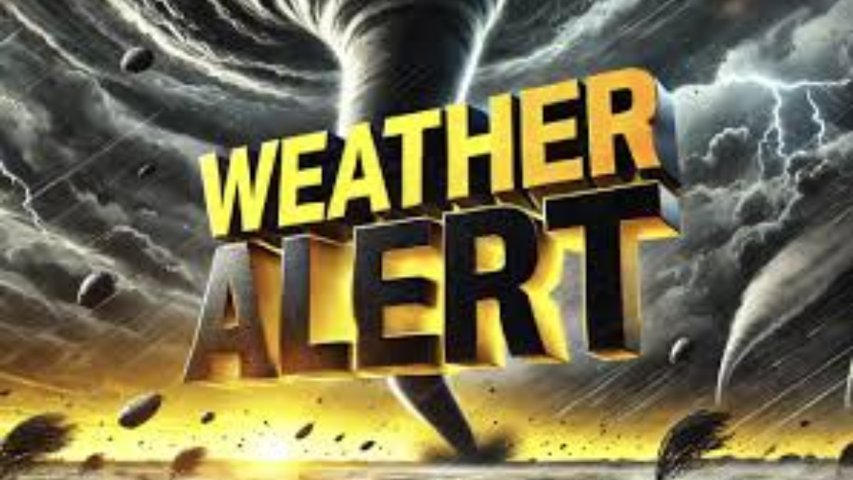
A significant weather system is set to impact 14 states along the East Coast on Monday, bringing the risk of tornadoes, large hail, and damaging winds. Meteorologists warn that areas stretching from Georgia to Pennsylvania could experience severe thunderstorms, posing potential threats to life and property.
With millions of residents in the storm’s path, authorities urge preparation and caution.
States Under Threat
The storm system is expected to affect the following states:
- Southeastern States: Georgia, South Carolina, North Carolina
- Mid-Atlantic Region: Virginia, West Virginia, Maryland, Delaware, Washington D.C.
- Northeastern Corridor: Pennsylvania, New Jersey, New York
- Interior States: Kentucky, Tennessee, Ohio
The National Weather Service (NWS) has issued alerts for these areas, urging residents to prepare for rapidly changing weather conditions. Some locations could experience multiple rounds of severe storms, increasing the risk of tornado outbreaks and damaging hail.
Tornado and Hail Risks
Meteorologists forecast an elevated risk of tornadoes, particularly in the southern and central parts of the affected region. Supercell thunderstorms could develop, leading to potential tornado formation, especially in:
- Northern Georgia
- The Carolinas
- Virginia
Tornadoes could cause significant structural damage, power outages, and disruptions to daily life. Residents in high-risk areas should stay alert for tornado warnings and take immediate shelter when necessary.
Additionally, large hail, with sizes reaching up to two inches in diameter, could impact multiple states. Hailstorms are expected to be particularly severe in Kentucky, Tennessee, and parts of Pennsylvania. Hail this large can damage vehicles, roofs, and crops, leading to costly repairs.
Damaging Winds and Heavy Rainfall
Winds exceeding 60 mph could down trees and power lines, leading to widespread outages. The hardest-hit regions may see prolonged disruptions due to infrastructure damage. Wind gusts may reach hurricane-force levels in some localized areas, making it essential for residents to secure loose objects outdoors.
Heavy rainfall may also trigger flash flooding, especially in urban areas and low-lying locations along major rivers and coastlines. The combination of saturated ground and rapid rainfall accumulation can overwhelm drainage systems, leading to dangerous road conditions. Drivers are urged to avoid flooded streets and seek alternate routes if necessary.
Safety Precautions for Residents
Authorities are urging residents to take the following precautions:
- Stay Informed: Monitor updates from the National Weather Service and local meteorologists.
- Secure Outdoor Items: Strong winds can turn patio furniture, grills, and other loose objects into dangerous projectiles.
- Have an Emergency Kit: Stock up on flashlights, batteries, bottled water, non-perishable food, and first-aid supplies.
- Identify Safe Shelter: In case of a tornado, head to a basement or interior room away from windows.
- Avoid Travel During Storms: Road conditions may become hazardous due to falling debris and flash floods.
Possible Flight Delays and Travel Disruptions
With major airports like Atlanta Hartsfield-Jackson, Charlotte Douglas, and Philadelphia International in the storm’s path, travelers should expect possible flight cancellations and delays. Airlines are advising passengers to check flight status updates frequently and consider rebooking if necessary.
Amtrak and regional train services could also experience disruptions, particularly in areas prone to flooding and wind damage. Commuters using public transportation should prepare for delays and service changes.
Emergency Response and Power Outages
Utility companies in the affected states are preparing for potential mass power outages. Extra crews are being stationed in high-risk areas to respond quickly to downed power lines and outages. Residents should charge electronic devices and prepare backup power sources in case of extended disruptions.
Local emergency management teams are on standby, and shelters may be opened in areas experiencing severe tornado damage or prolonged power outages. Those in mobile homes or flood-prone locations should consider evacuating to a safer location if conditions worsen.
When Will the Storm Pass?
Weather experts predict that the storm system will move northeast, weakening by late Monday night. However, residual storms and heavy rain could persist into Tuesday in some areas. By midweek, calmer weather is expected across the East Coast. Storm recovery efforts could take several days in areas hit hardest by tornadoes and flooding.
Conclusion
Residents from Georgia to Pennsylvania should stay alert and prepare for possible severe weather on Monday. The combination of tornadoes, hail, strong winds, and heavy rain could lead to dangerous conditions. Timely preparation and vigilance can help minimize risks and protect lives.
Stay informed by following updates from The National Weather Service (NWS) and local authorities.
For real-time weather updates and emergency alerts, visit National Weather Service.
Disclaimer – Our team has carefully fact-checked this article to make sure it’s accurate and free from any misinformation. We’re dedicated to keeping our content honest and reliable for our readers.