A powerful spring storm system is set to impact Minnesota this weekend, bringing a combination of heavy rain, snow, and strong winds. The unpredictable nature of this system could cause hazardous road conditions, power outages, and travel disruptions throughout the state.
Residents should prepare for rapidly changing weather and take necessary precautions to stay safe. This storm is expected to be one of the most impactful of the season, reminding Minnesotans that winter’s grip is not entirely gone even as spring progresses.
Heavy Rain and Snowfall Expected Across the State
Meteorologists predict significant precipitation across Minnesota, with rainfall totals of 1-2 inches in southern and central parts of the state. Heavy rain could lead to localized flooding, particularly in areas with poor drainage or where the ground is already saturated from previous precipitation. Urban areas could see pooling water on roadways, increasing the risk of hydroplaning for drivers.
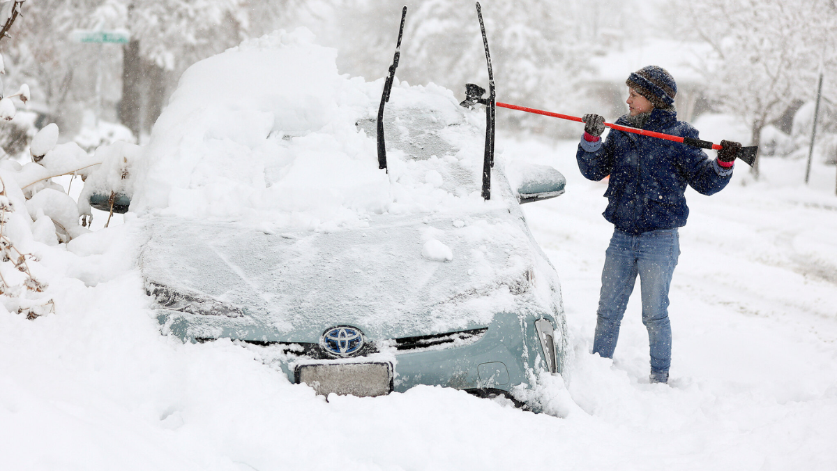
As temperatures fluctuate, precipitation may transition to snow in the northern regions, where some areas could see up to 6 inches of accumulation. Snowfall rates could be heavy at times, particularly overnight when temperatures are lower. This could lead to rapidly changing road conditions, with wet roads quickly becoming snow-covered and slick.
The Twin Cities region is expected to experience a mix of rain and snow, making travel conditions slippery and hazardous. The rain-snow line remains uncertain, and small shifts in temperature could result in unexpected changes to precipitation types and accumulation levels.
Commuters and travelers should be prepared for varied road conditions, particularly during early morning and late-night hours when icy patches may form.
Strong Winds Could Cause Damage and Power Outages
In addition to rain and snow, strong winds are forecasted to sweep across Minnesota. Wind gusts of 30-40 mph will be common, with some areas experiencing gusts up to 50 mph. These powerful winds could bring down trees and power lines, leading to outages in some communities.
Areas with heavy snowfall could experience near-blizzard conditions as gusty winds cause blowing and drifting snow, further complicating travel.
The combination of wet snow and high winds increases the risk of tree limbs breaking, especially in areas where trees have begun to bud for spring. Residents should prepare for possible power outages by charging devices, securing outdoor items, and having emergency supplies on hand.
Homeowners should also be aware of the potential for minor structural damage to roofs and siding due to wind-driven debris.
Travel Disruptions Likely Due to Slippery Roads and Flight Delays
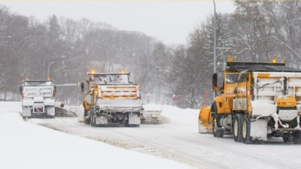
Road conditions will vary across the state, with icy and slushy roads expected in regions experiencing a rain-to-snow transition. The Minnesota Department of Transportation (MnDOT) advises motorists to drive cautiously, reduce speed, and allow extra travel time.
Snow-covered roads in northern Minnesota could lead to difficult driving conditions, especially on highways and rural roads where plows may struggle to keep up with accumulating snow.
Interstates such as I-35 and I-94 could see significant delays due to a combination of heavy precipitation and strong winds. High-profile vehicles such as trucks and buses may experience difficulty maintaining control in the gusty conditions. Drivers should avoid unnecessary travel and monitor road conditions closely before heading out.
Minneapolis−Saint Paul International Airport may also experience flight delays and cancellations due to strong winds and shifting precipitation. Travelers are encouraged to check with their airlines for updates before heading to the airport.
If flights are delayed, passengers should be prepared with essentials such as snacks, chargers, and extra clothing to stay comfortable during extended wait times.
Precautions to Take Ahead of the Storm
With a messy weather system on the way, Minnesota residents should take the following precautions to ensure safety and minimize disruptions:
- Secure Outdoor Items: Strong winds can turn loose objects into dangerous projectiles. Bring in patio furniture, trash cans, and decorations.
- Prepare for Power Outages: Charge all electronic devices, stock up on batteries, and have flashlights readily available in case of an outage.
- Monitor Weather Alerts: Stay updated on the latest weather developments through the National Weather Service and local news stations.
- Stock Essential Supplies: Have enough food, water, and medication on hand in case travel becomes difficult.
- Plan for Delays: If traveling, check road conditions, allow extra time, and consider postponing non-essential trips until after the storm passes.
- Check Vehicle Readiness: Make sure your car has a full tank of gas, and keep an emergency kit that includes blankets, food, water, and a first-aid kit.
- Prepare for Possible School and Work Disruptions: Some schools and workplaces may adjust schedules due to hazardous conditions. Check local news for closure announcements.
When Will the Storm End and What to Expect Next?
The storm system is expected to move out of Minnesota by late Sunday night into early Monday morning. As it exits, temperatures will drop, leading to the possibility of refreezing on wet roads. This could result in slick conditions for the Monday morning commute, especially in areas where precipitation remains on the ground overnight.
By Monday afternoon, drier conditions are expected to return, with sunshine in some areas. However, lingering breezy conditions could still cause minor disruptions. Looking ahead, Minnesota may experience additional unsettled weather as spring continues, so residents should remain vigilant for further storms.
Long-range forecasts indicate that additional systems may bring more precipitation in the coming weeks, with temperatures remaining below average for this time of year. This means that winter-like conditions could linger longer than usual, impacting outdoor activities and spring planting efforts.
While this system will create hazardous conditions, taking the right precautions can help minimize its impact. Staying informed, preparing in advance, and exercising caution will be key to safely navigating this messy spring storm.
For the latest weather updates and travel advisories, visit the National Weather Service.
Disclaimer – Our team has carefully fact-checked this article to make sure it’s accurate and free from any misinformation. We’re dedicated to keeping our content honest and reliable for our readers.