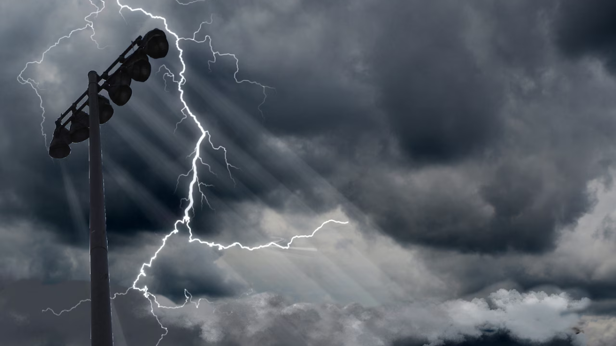
New Jersey residents are being urged to prepare for a round of intense thunderstorms and heavy rainfall expected to sweep across the state over the next 48 hours. The National Weather Service (NWS) has issued multiple alerts, warning of strong winds, possible flash flooding, and the risk of isolated tornadoes as the system moves in from the west.
Meteorologists report that the storm system, fueled by warm, moist air from the south, will bring a mix of severe weather conditions. Most of the state is under a Severe Thunderstorm Watch, with the potential for damaging winds exceeding 60 mph and rainfall totals reaching 2 to 4 inches in some areas.
“This is not just your typical spring shower,” said NWS meteorologist Dave Hogan. “We’re looking at a high-impact weather event that could cause travel disruptions, property damage, and hazardous road conditions.”
Timeline: When and Where Storms Will Hit
Forecasters say the most dangerous conditions are expected to begin late Thursday afternoon and continue into early Friday morning. The strongest storms are predicted to hit western and central parts of New Jersey first before making their way toward coastal communities.
Expected timeline:
- Thursday, 3–6 PM: Storms begin to form in western NJ counties like Warren, Hunterdon, and Mercer.
- Thursday, 6–10 PM: Heavier storms reach central NJ, including Middlesex and Somerset.
- Overnight: Eastern and coastal regions such as Monmouth, Ocean, and Atlantic counties may experience high winds and intense downpours.
Drivers are advised to avoid travel during these hours due to limited visibility and water-covered roads. The New Jersey Department of Transportation (NJDOT) will monitor roadways and deploy crews if flash flooding or debris becomes a concern.
Flooding and Power Outages a Major Concern
With several inches of rain expected to fall in a short period, flash flooding remains a primary threat. Low-lying areas, underpasses, and urban neighborhoods with poor drainage are particularly vulnerable.
“Residents living in flood-prone zones should take action now to secure their property and have an emergency plan,” said NJ Emergency Management Director Angela Murphy. “Power outages are also possible, especially with high wind gusts and lightning activity.”
Utility companies like PSE&G and JCP&L have activated storm response teams and are encouraging customers to report outages immediately through their websites or mobile apps. Backup generators and emergency supplies such as water, flashlights, and batteries are strongly recommended.
For current alerts and flood maps, visit the National Weather Service website.

Schools, Events, and Travel May Be Affected
As the storm threat looms, school districts across New Jersey are closely monitoring conditions and may opt for early dismissals or a switch to remote learning, depending on the severity of the weather.
Airports in Newark, Trenton, and Atlantic City have also warned travelers to expect delays and potential cancellations. NJ Transit may suspend or modify bus and rail service in impacted areas, particularly if tracks become flooded or roads impassable.
Several towns have postponed outdoor community events and sports games originally scheduled for Thursday evening. Residents are encouraged to check with local authorities and event organizers for real-time updates.
Safety Tips for New Jersey Residents
Emergency officials are reminding the public of key safety steps to follow during severe storms:
- Avoid driving through flooded roads — “Turn around, don’t drown.”
- Secure outdoor items like furniture and trash bins that can become projectiles in high winds.
- Charge electronic devices and keep them accessible for emergency alerts and calls.
- Stay indoors and away from windows during lightning and strong wind events.
- Check on elderly neighbors or those with special needs who may require assistance.
New Jersey’s ReadyNJ.gov website offers additional resources for emergency preparedness and alerts via text or email.
What Comes Next: Weekend Weather Outlook
While the bulk of the severe weather is expected to pass by Friday morning, scattered showers may linger into the early weekend. Cooler, drier air will gradually return by Saturday evening, bringing more seasonable conditions for the start of next week.
Forecasters caution that while the upcoming weekend looks calmer, more spring storms could be on the horizon as the region remains in an active weather pattern. Residents should remain alert to changing forecasts and heed warnings from official sources.
Conclusion
As intense thunderstorms and rainfall make their way toward New Jersey, residents across the state are bracing for a turbulent 24–36 hours. With severe weather alerts in effect and the possibility of flooding, power outages, and hazardous travel, local and state officials are emphasizing the need for caution and preparedness.
Stay informed by checking weather updates regularly, following your county’s Office of Emergency Management, and signing up for alerts through the New Jersey Office of Homeland Security and Preparedness (NJOHSP).
For more updates and preparedness resources, visit ReadyNJ.gov.
Disclaimer – Our team has carefully fact-checked this article to make sure it’s accurate and free from any misinformation. We’re dedicated to keeping our content honest and reliable for our readers.
