
(WFCN) – Researchers at the University of Florida Institute of Food and Agricultural Sciences are getting ready for hurricane season by utilizing cutting edge monitoring tools that will enable them to assess the extent of forest damage sustained by a single hurricane.
In addition to causing damage to residences and commercial buildings, storms that rage through Florida also decimate wood farms and forests.
Accurately estimating the amount of timber damaged by hurricanes is crucial for climate change research, insurance estimates for tree farms, environmental management choices, and salvaging logging operations. However, this has proven to be a challenging problem thus far.
The goal is to create pre- and post-hurricane 3D maps of forests using a combination of artificial intelligence and remote sensing technologies, according to Carlos Silva, assistant professor of quantitative forest science at the UF/IFAS School of Forest, Fisheries and Geomatics Sciences, and director of the forest biometrics, remote sensing, and AI lab.
To do this, he employs lidar, or light detection and ranging, which is a technique that uses lasers to collect data, together with satellites and ground equipment.
“Here in Florida, hurricanes present a significant challenge,” Silva stated. “Basically, traveling to the field, setting up plots, and measuring trees is the traditional method of evaluating the impact of storms. However, considering broad regions takes a lot of time, thus the conventional method of evaluating how hurricanes affect forest ecosystems is ineffective.
“These cutting-edge remote-sensing and AI techniques have ushered in a new era for forest monitoring,” he declared.
According to him, data facilitates prompt and informed decision-making for environmental and emergency managers during a disaster. These statistics assist them in determining which areas were most harmed and require urgent assistance, as well as which may benefit from more targeted efforts down the road, including determining the best locations for salvage logging operations.
The maps can assist landowners and forest managers in responding swiftly to hurricane damage, according to Silva’s lab senior Kody Brock. “We in the forestry field are aware that hurricanes will only get worse and more frequent,” the speaker stated. We’re losing those kinds of ecosystems.
The Colorado State University hurricane forecasting team predicts that 2024 will be a busy hurricane season. The group has 23 storm forecasts. Of them, five will be Category 3 hurricanes or stronger, and eleven will be hurricanes.
The Global Ecosystem Dynamics Investigation (GEDI) satellite and the Ice, Cloud and Land Elevation Satellite (ICESat-2) satellites from NASA were utilized by Silva and his team to scan trees on the ground using a laser pulse that provides information about the forest’s structure, he added.
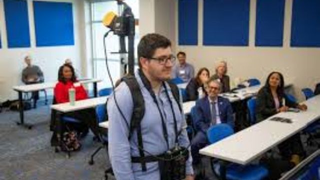
To create detailed, three-dimensional maps of the forest, further information is gathered using backpack equipment and lidar scanners mounted on all-terrain vehicles.
A web-based mapping platform that displays a full view of Hurricane Ian’s effects on forest ecosystems combines lidar and images data from satellites and ground-based sensors. Anyone can utilize the map by accessing it online.
According to him, the data retrieved from these sources includes the weight of trees both before and after hurricanes, in addition to 3D photographs of trees that are able to identify minute details like individual damaged tree limbs.
“Until now, there was no method to merge data from various sources,” Silva stated of the advancements made in his lab.
The Rapid Response to Extreme Weather Events Across Food and Agricultural Systems initiative at the USDA National Institute of Food and Agriculture (NIFA) provides funding for Silva’s study. Monique Schlickmann, a Ph.D. candidate, and postdoctoral researchers Inacio Bueno and Caio Hamamura were also on Silva’s team.