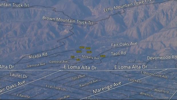
On Friday, SkyCal provided an aerial view of some of the regions affected by the Eaton Fire by flying over a section of the San Gabriel Valley.
A street map was superimposed by a KCAL News photographer. SkyCal might not have covered every area due to flight constraints and the ongoing battle.
On Thursday, SkyCal took a flight to the Pacific Palisades.
